
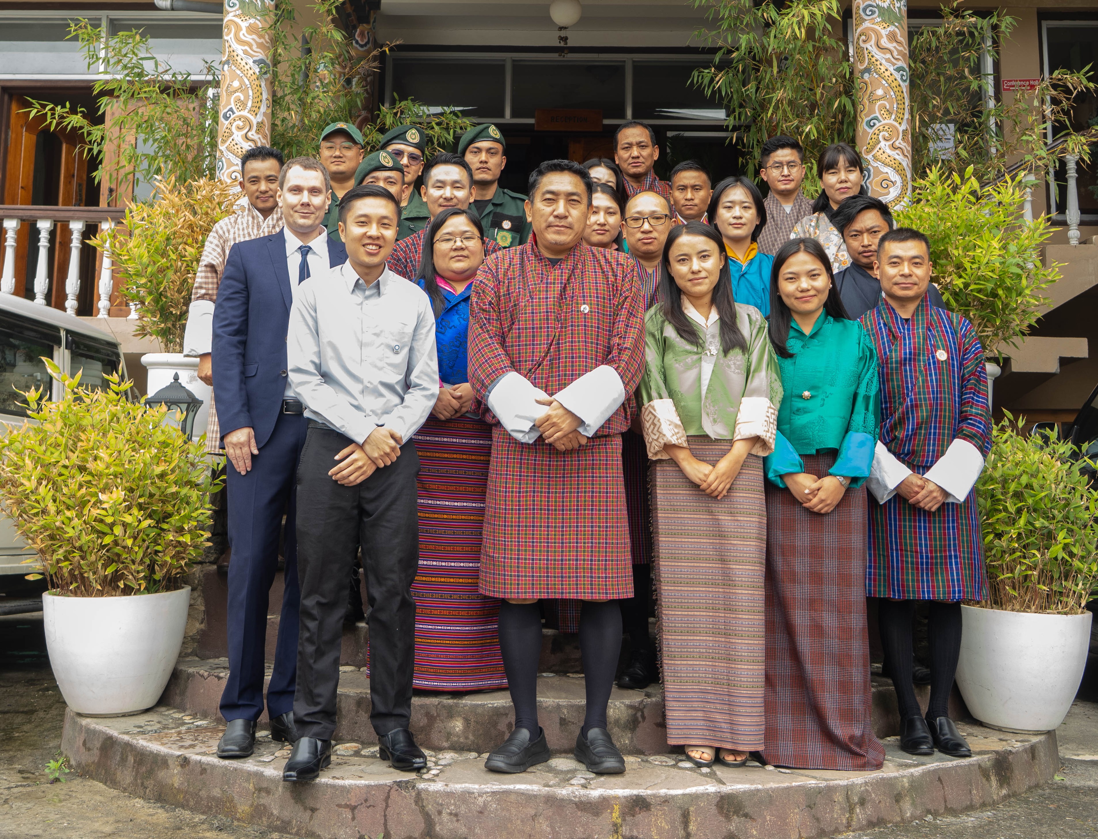
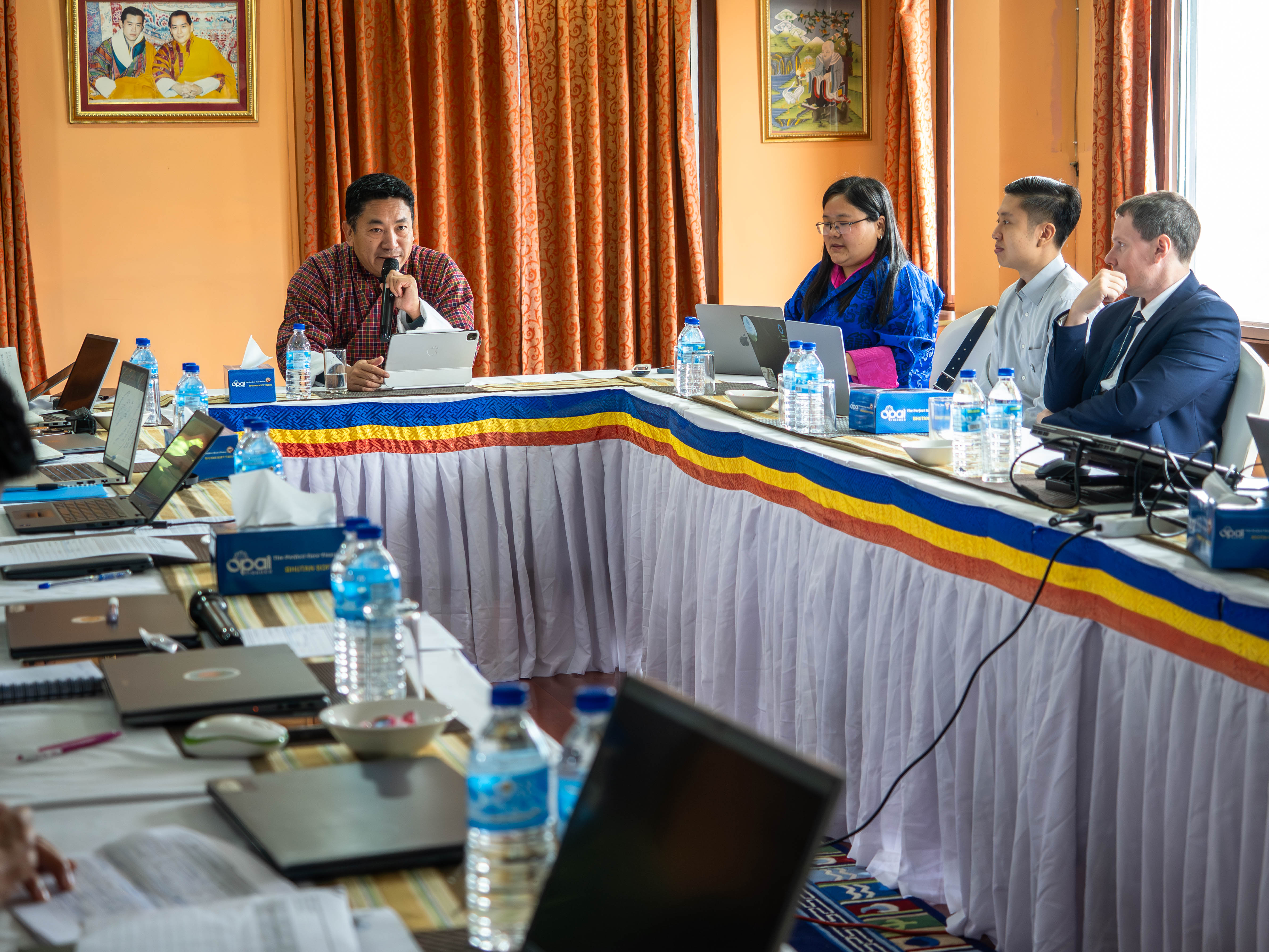
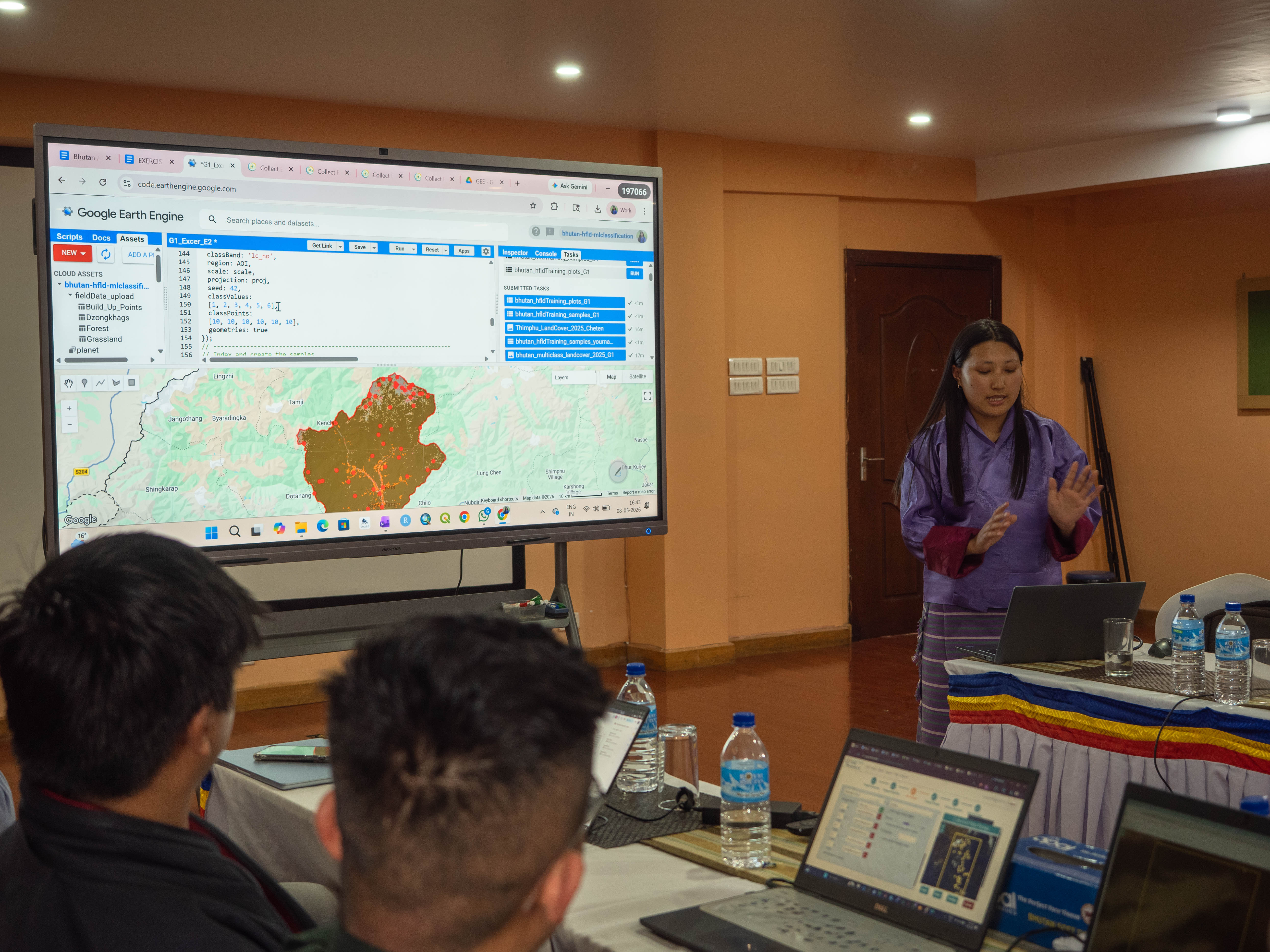
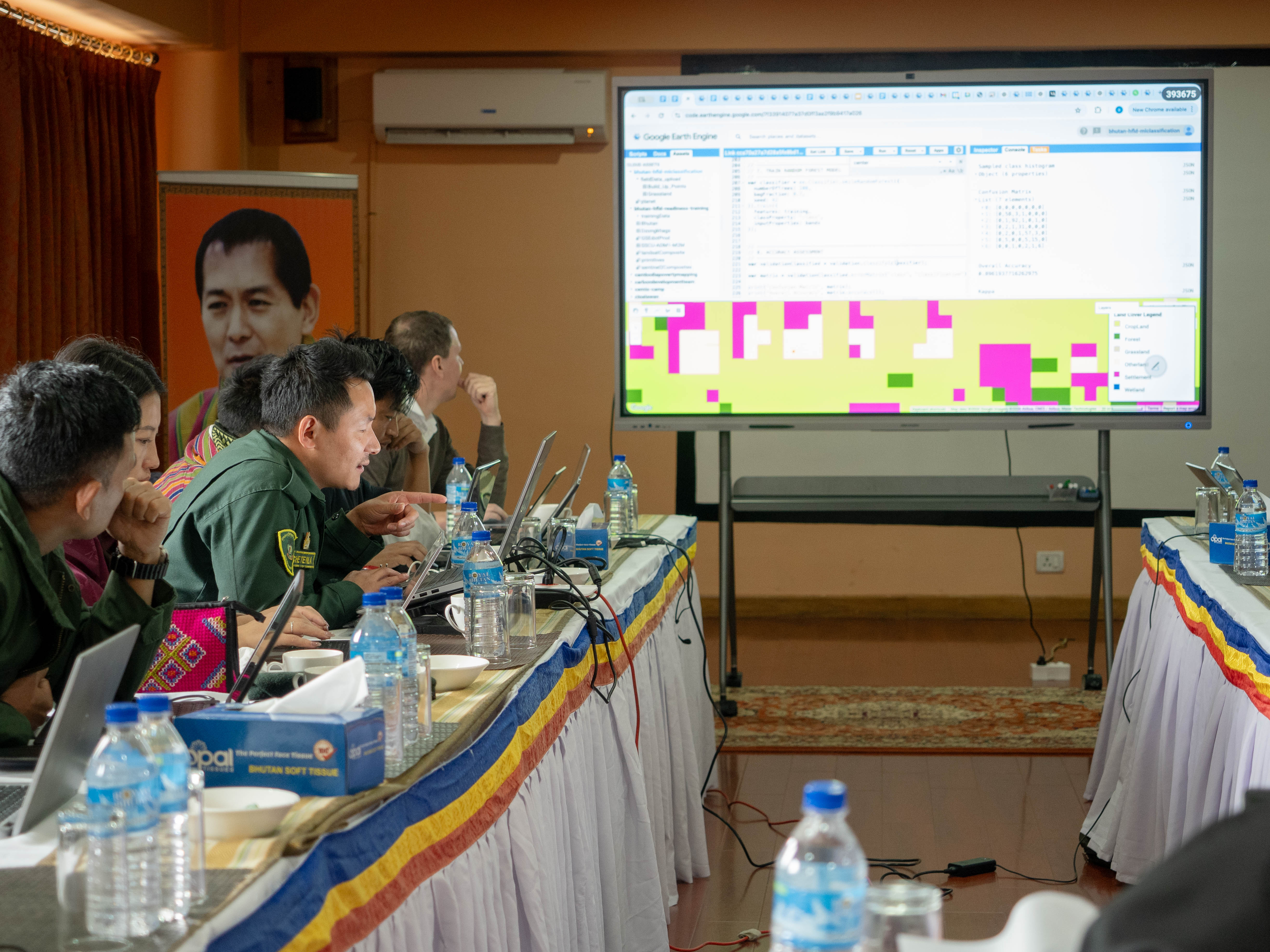
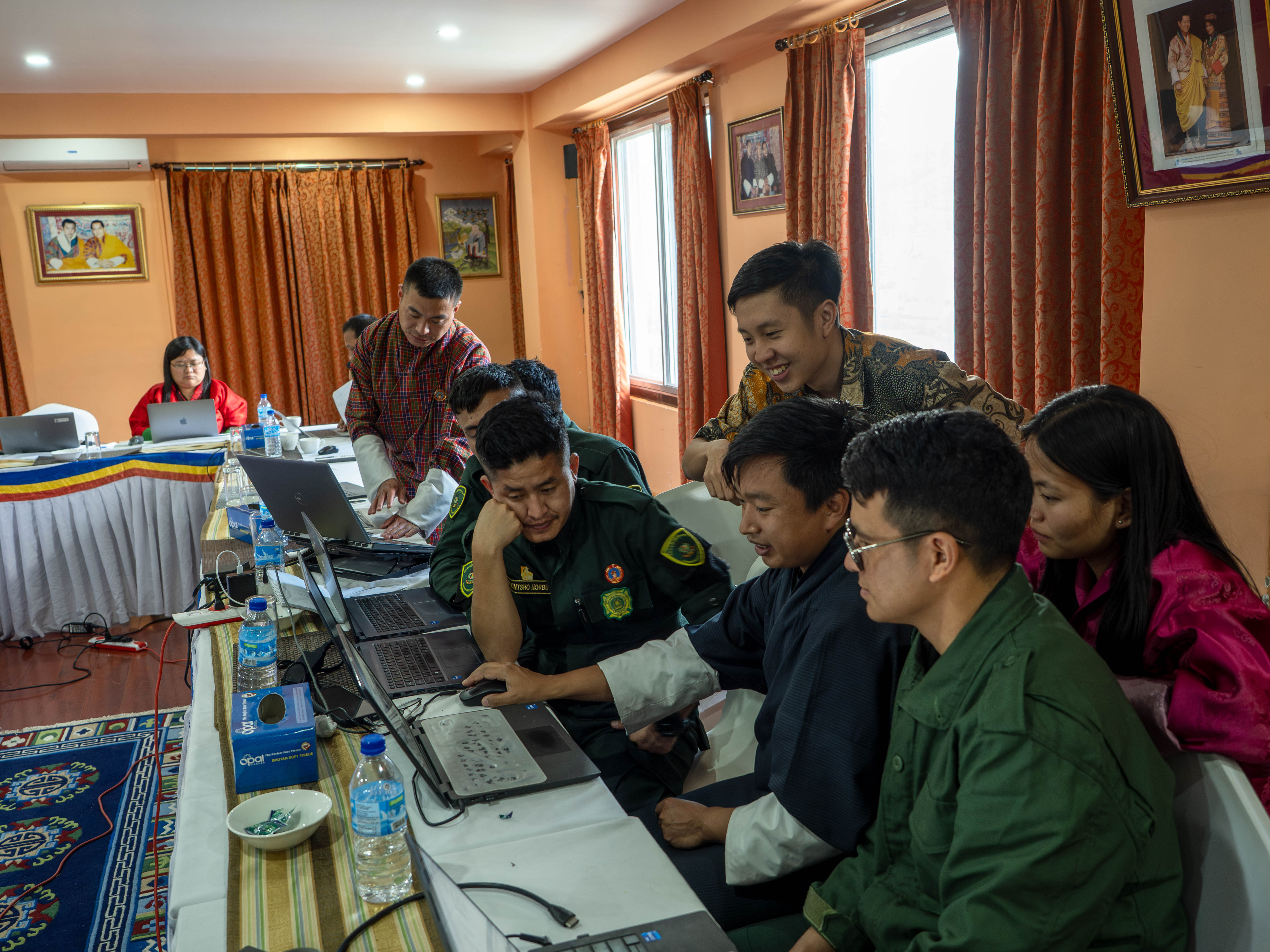
The Department conducted a five-day technical training workshop on “Cloud-based Remote Sensing and Mapping for Carbon Credit Readiness – forest and non-forest mapping” from 4th to 8th May, 2026 for 21 participants from field and functional divisions, with technical support from Conservation International. The workshop focused on strengthening technical capacity in remote sensing, cloud-based mapping, forest monitoring, and carbon accounting to support Bhutan’s readiness for carbon credit initiatives and international climate finance mechanisms.
 | 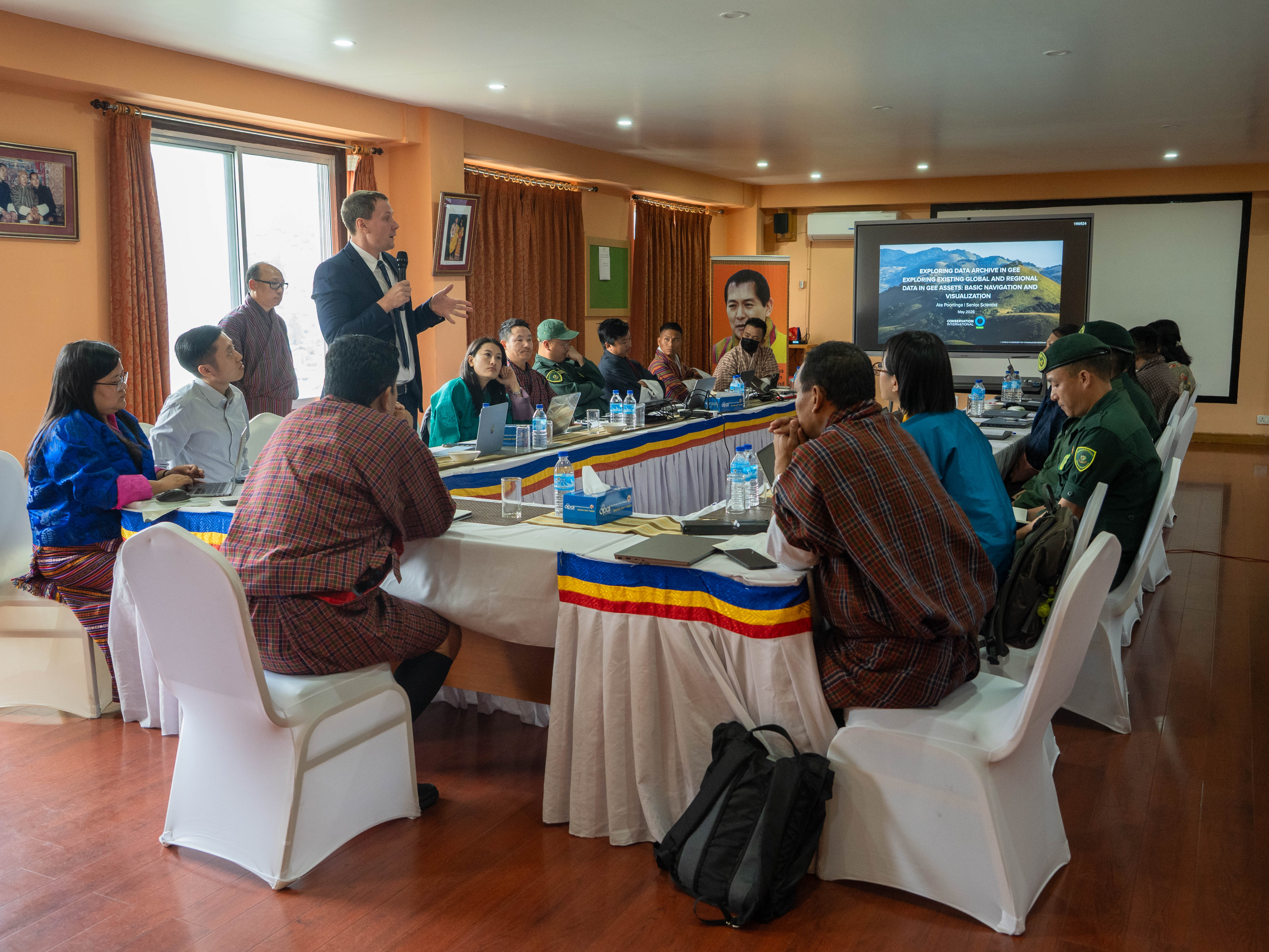 | 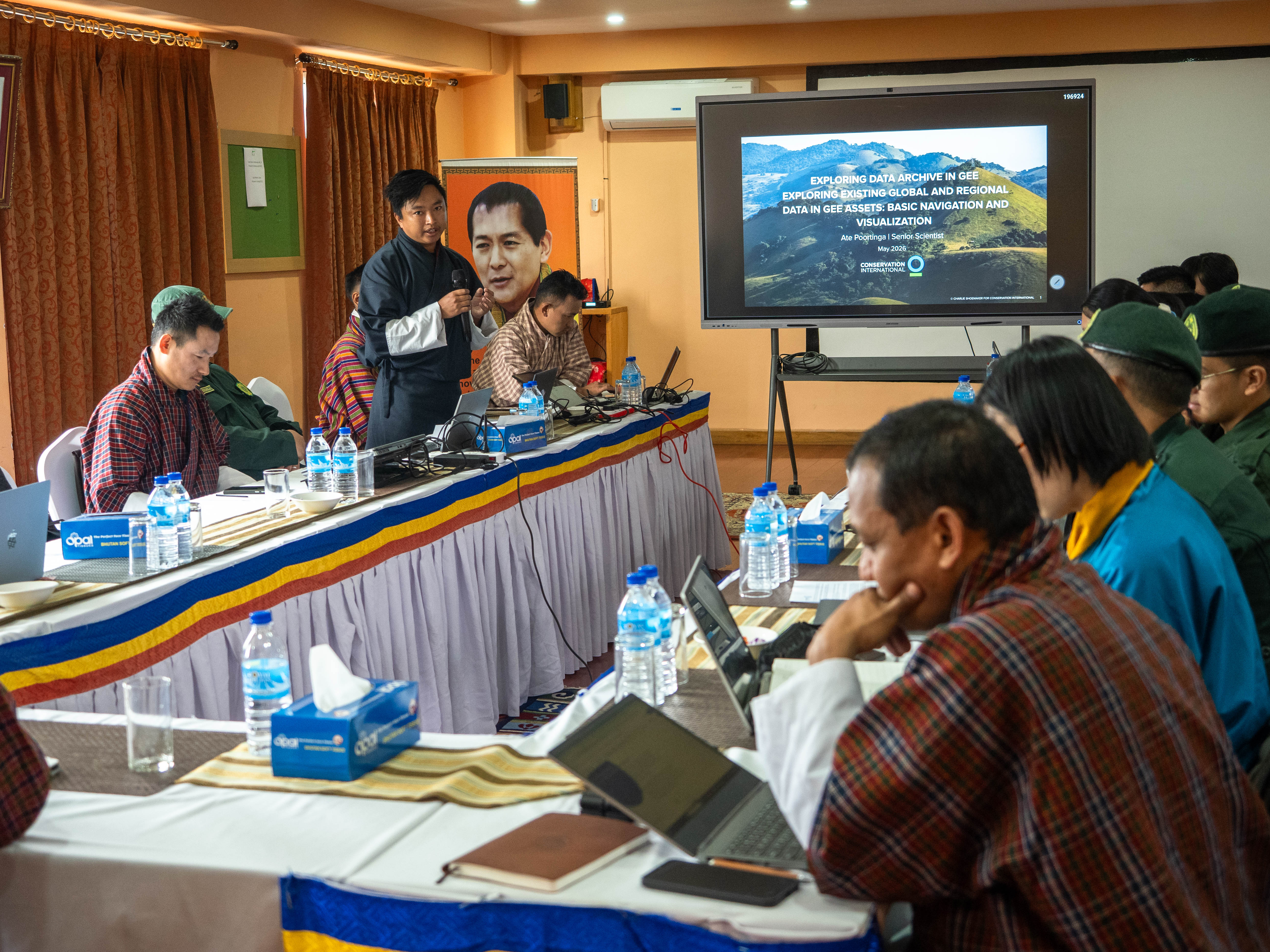 |
Bhutan’s strong environmental stewardship and High Forest Low Deforestation (HFLD) status position the country well for emerging carbon market opportunities. Building on ongoing work under the ART-TREES framework, the training emphasized enhancing institutional capacity in land use and land cover mapping, change analysis, and stratified area estimation using modern geospatial tools such as Google Earth Engine. The Department also acknowledged the continued technical collaboration and support provided by Conservation International in strengthening Bhutan’s technical preparedness for participation in global carbon markets.
 |  |  |
![]()
